")
")
Environmental services
Oct
15
2020
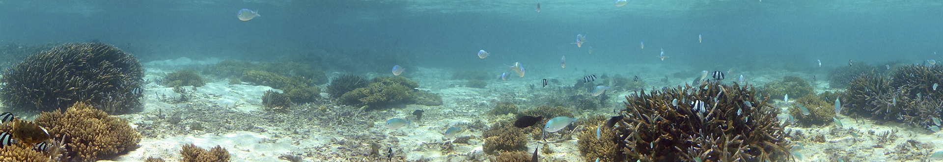
Echo maps
Echo-cartographies usually include a range of studies carried out by Rey Gerión:
- •A detailed bathymetry carried out with a multibeam probe of the submerged coastal platform, at 1: 1,000 and 1: 5,000 scales.
- • Information and mapping of the benthic communities and the biocenosis, creating a database of all species.
- • Preparation of a series of thematic maps indicating, among other variables, the uses and classification of the soil, geology, protected natural spaces and fishing resources.
- • Detailed information on the coastal strip, in relation to its most significant environmental and cultural factors.
- • The objective of these studies is to obtain a detailed cartographic support of a specific area of the coast, together with a description of it, containing data related to natural communities, landscape and heritage elements.
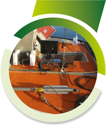
Finally, we integrate the data into a Geographic Information System (GIS) of all the study information so that it serves as a management tool for planning and decision-making for possible actions on the coast by the client.

The best team of professionals at your service.
More than 40 scientific project addresses granted by the administration of 11 different countries and the participation in hundreds of underwater civil works projects and the production of 15 documentaries broadcasted by channels such as National Geographic, History Channel and DMAX and VH1.
Main Menu
More information
Contact Us
Diseminados Sta. Catalina, 40 Aljaraque (Huelva. Spain)
(+34) 600 440 345
info@reygerion.com