")
")
Marine Geophysics
Sísmica de alta resolución
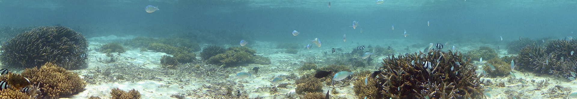
Our system is tested and calibrated, we have applied it for a wide variety of survey objectives for years, for site investigation, we apply seismic methods combined with multibeam echo sounder, single beam echo sounder, and side scan sonar.
The data acquired during these studies has demonstrated the benefits of traditional high-resolution 2D seismic, which is still the typical seismic method used for contingency studies, and provides the most effective way to identify geographic hazards.
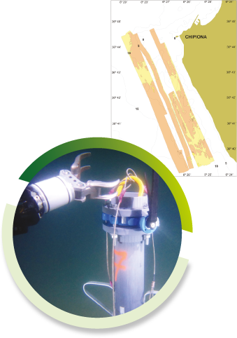
Specific geological surveys
Our prospecting vessel is permanently mobilized with seismic equipment that operates simultaneously with instruments that carry out mapping of the seabed and survey tools that allow us a high resolution of the surface elements of the seabed.
We are specialists in monitoring surface hazards prior to dismantling and imaging reservoirs and structures, where targets are within the penetration limits of our seismic systems.

The best team of professionals at your service.
More than 40 scientific project addresses granted by the administration of 11 different countries and the participation in hundreds of underwater civil works projects and the production of 15 documentaries broadcasted by channels such as National Geographic, History Channel and DMAX and VH1.


Main Menu
More information
Contact Us
(+34) 600 440 345
info@reygerion.com